
Last Updated on AUG 19, 2026
Polar vortex disruption played an important role in Northern Hemisphere weather during winter 2025/26, although its effects varied significantly between regions.
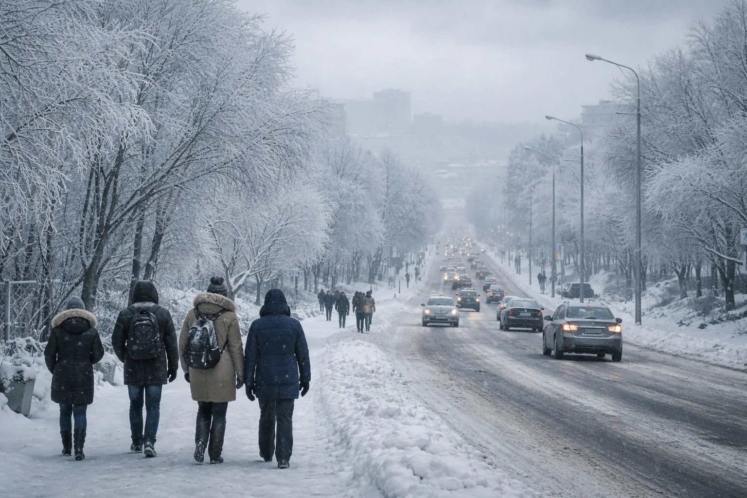
Europe experienced its coldest January since 2010, while Arctic air also brought severe cold to parts of the eastern United States and the UK.
However, the cold did not persist everywhere: February was unusually mild in the UK and much of the United States, showing that a weakened or displaced polar vortex does not automatically produce prolonged freezing weather across every affected region.
Key Points of the Forecast:
Topic Summary
What’s happening? A polar vortex collapse triggered by SSW
Who’s affected? UK, Europe, North America
Weather risks Prolonged cold, snow, jet stream disruption
Expert insights Forecasts consistently show strong disruption
UK impact Higher risk of cold spells and snowfall
Long-term factors Possible links to Arctic warming
Stay alert and follow reliable forecasts.
What Is a Polar Vortex and Why Is It So Dangerous?
To understand the polar vortex collapse weather forecast, first we need to clarify what the polar vortex actually is. Simply put, the polar vortex is a large area of cold, rotating air that exists over the Earth’s poles and encircles the Arctic.
When strong, it keeps the coldest air tight over the polar regions; when weak or disrupted, that cold air can escape into much lower latitudes.
The polar vortex exists in the stratosphere and the troposphere. The stratospheric part, high above the surface, plays a key role in influencing broader weather patterns because changes there can propagate downwards and affect the jet stream and weather systems closer to the ground.
Table 1: Typical Polar Vortex vs. Disrupted Polar Vortex
Feature Typical Polar Vortex Disrupted/Collapsed Vortex
Location of coldest air Centre over North Pole Pulled into mid‑latitudes
Jet stream behaviour Strong and zonal Weak and wavy
Surface weather tendency Milder winter in mid‑latitudes Cold spells, snow outbreaks
Likelihood of extreme cold Lower Higher
In my conversations with meteorologists, one expert explained: “When the polar vortex weakens or collapses, it disrupts the normal atmospheric circulation, creating opportunities for Arctic air to surge much farther south than usual.”
That means not just a cold day or two, but a sustained period of more intense winter weather in places that normally see more moderate conditions.
The danger from a polar vortex collapse isn’t directly from the vortex itself, but from how its instability affects the jet stream, a fast‑moving band of air that steers weather systems.
A disrupted vortex makes the jet stream meander more, allowing cold air to push southwards and warm air to move northwards, typical of extended cold waves and blocked weather patterns.
What Does “Polar Vortex Collapse” Mean for the Weather Forecast?
A “polar vortex collapse” is closely tied to a Sudden Stratospheric Warming (SSW) event. This is when the stratosphere, roughly 10 km to 50 km above the Earth’s surface, warms dramatically over a short period. That warming disrupts the polar vortex circulation, often splitting it or deforming its core.
During winter 2025/26, the polar vortex went through several periods of weakening and displacement rather than producing one simple, uniform surface-weather outcome.
The Met Office had already reported a minor sudden stratospheric warming during late 2025, which temporarily weakened and displaced the polar vortex.
At that stage, forecasts suggested the vortex would recover, highlighting how quickly stratospheric forecasts can change.
Table 2: Indicators of Polar Vortex Disruption
Atmospheric Feature Normal Disrupted
Stratospheric temperature Cold Warm anomalies of +30–50 °C
Wind patterns Strong westerlies Weak, reversed or disrupted
Polar vortex structure Single tight circulation Split or deformed cores
Surface teleconnection Stable jet stream Wavier jet stream
A sudden stratospheric warming can raise temperatures in the stratosphere by as much as around 50°C within only a few days and can weaken or reverse the usual westerly winds.
However, an SSW does not guarantee severe cold in the UK. Its surface effects depend on whether the disruption propagates downwards and how the jet stream and pressure systems subsequently respond.
This change alters atmospheric pressure patterns and increases the likelihood of Arctic air moving into the mid‑latitudes.
What I find particularly telling about the current forecasts, beyond the technical model outputs, is how consistently multiple independent forecasting systems are pointing toward a disruption rather than a fleeting wobble.
This consistency across datasets increases confidence that the surface weather impacts, cold spells and snow risk are more than just anecdotal. While no forecast is perfect, the signal here is stronger than average.
How Is the Polar Vortex Collapse Forecast for 2026 Shaping Up?

The 2026 forecasting outlook hinges on recent developments in the stratosphere and their expected downward influence on weather patterns.
Early results from ensemble forecasts suggest a prolonged disturbance of the polar vortex structure, often linked to the mid‑winter warming event.
As the vortex deforms, one of two things typically happens: it either splits into multiple smaller cores or shifts off the North Pole entirely.
In either scenario, the containment of cold air is weakened, making it easier for that air to escape southwards and interact with the mid‑latitude weather systems.
Table 3: Expected Pattern Shifts in Early 2026
Pattern Expected Change Implication
Stratospheric winds Significant weakening Potential vortex disruption
Jet stream Increased waviness Arctic air surges
Surface pressure Blocking highs Longer cold spells
Storm track Distorted Greater snow/ice risk
Current forecasts show that, following the stratospheric warming, pressure anomalies may create a blocking pattern over Greenland and the North Atlantic.
This type of block can help sustain northerly winds and maintain cold conditions over Europe and the UK for extended periods.
One aspect that isn’t always obvious to people outside meteorology is that these effects are often delayed. The changes aloft don’t instantaneously appear at the surface.
Rather, they take days to weeks to propagate downward and influence surface weather, which is why long‑range winter forecasts often shift and update as these interactions evolve.
Will the Polar Vortex Affect the UK?
For the UK, the forecast context is one of competing atmospheric influences. The usual mild, wet Atlantic weather that most people associate with UK winters is driven by a strong jet stream.
But a disrupted polar vortex tends to weaken the jet stream, allowing northerly or easterly winds to become more prominent.
The UK did experience significant winter cold during January 2026. Early in the month, temperatures fell to −12.5°C at Marham in Norfolk, while several other locations dropped below −10°C and substantial snow affected parts of northern Scotland. However, the pattern changed as the winter progressed.
These patterns increase the risk of colder conditions, sleet and snow across much of the UK, particularly in northern and eastern regions where Arctic air masses are more readily drawn southwards.
Table 4: UK Weather Patterns & Their Impacts
Pattern Typical Weather Expected Under Current Forecast
Strong Atlantic jet Milder, wet weather Less likely
Northerly airmass Cold, dry conditions More frequent
Easterly winds Freezing air from Europe Increased chance
Blocking high pressure Cold settled weather Possible
This does not mean every part of the UK will see extreme weather simultaneously. Some areas may see only colder, breezy days, while others could face snow showers and icy conditions.
Winter weather in the UK is notoriously variable, and the precise impacts will depend on the interplay of local conditions with the broader pattern.
February 2026 ultimately became the UK’s ninth-warmest February on record rather than a month dominated by prolonged Arctic cold.
England recorded its fourth-warmest February and Wales its sixth-warmest. Rainfall was also 23% above the February average across the UK, reflecting the strong influence of unsettled Atlantic weather.
This demonstrates why polar-vortex disruption should be treated as a factor that changes the probability of cold weather rather than as a guarantee of a nationwide freeze.
Statements from professionals within the forecasting community generally agree that this pattern, while not guaranteed to bring continuous severe cold, has a credible signal for recurring cold spells or unsettled winter themes.
How Could Europe Be Impacted by the Polar Vortex Europe Outlook?
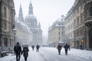
Europe experienced a pronounced but highly variable cold pattern during winter 2025/26. January 2026 was the continent’s coldest January since 2010, with the European land temperature averaging 1.63°C below the 1991–2020 January average.
Copernicus linked severe cold across Europe, North America and Siberia during the second half of January to a wavier-than-usual polar jet stream that allowed Arctic air to move into the mid-latitudes.
The pattern did not remain uniformly cold. February was only 0.10°C below the European average, with colder conditions concentrated across Fennoscandia, the Baltic States and northwest Russia, while western, southern and southeastern Europe were generally warmer than average.
By March, conditions had changed sharply again: Europe recorded its second-warmest March in the ERA5 record, at 2.27°C above the 1991–2020 average.
Central and eastern parts of the continent tend to be most vulnerable to deep Arctic outbreaks when the jet stream becomes distorted and allows high‑latitude cold air to plunge southwards. During past events, this has led to extended cold periods, widespread frost, and heavy snow.
The influence of blocking high pressure over Scandinavia or the North Atlantic can prolong these colder periods, leading to what meteorologists call cold blocks , persistent patterns where cold air remains in place for longer than a typical winter spell.
What Cold Weather Risks Are Predicted for the US and North America?
The United States experienced major regional contrasts during winter 2025/26. Arctic air masses brought bitter cold, snow and ice into the Plains, South and East during January, with particularly cold conditions affecting parts of the eastern half of the country.
NOAA satellites also monitored a major late-January winter storm that produced heavy snow, ice and dangerous cold.
However, the winter was not exceptionally cold across the United States as a whole. February 2026 was the fourth-warmest February on record for the contiguous US, at 6.6°F above the 20th-century average, and the full December-to-February season ranked as the second-warmest winter on record.
The Northeast remained comparatively cold and snowy, including a major February blizzard, while the West and Southwest experienced exceptional warmth. This regional contrast is important when discussing polar-vortex impacts because Arctic outbreaks can be severe even during a nationally warm winter.
Meteorologists tie these conditions to a distorted jet stream and a stretched polar vortex, which allows Arctic air to interact with warmer, moisture‑laden systems from the Gulf of Mexico, intensifying winter storms and producing dramatic temperature contrasts.
How Does Jet Stream Disruption Link to a Polar Vortex Collapse?

The jet stream is like a river of air high in the atmosphere that directs weather systems. A stable, strong jet stream generally keeps Arctic air confined northwards and directs milder westerly systems into mid‑latitude regions.
When the polar vortex weakens or collapses, that high‑altitude river of air meanders more.
These meanders, ridges and troughs change the weather dynamics below. Troughs allow cold air to surge south; ridges allow mild air to push north. This dynamic is what we often see during extended cold spells followed by brief milder interludes.
This disruption is one reason why winter can feel so variable even within a single season, with swings from freezing conditions to mild days within a short span.
What Will Happen If the Polar Vortex Collapses in Simple Terms?
If the polar vortex collapses significantly in 2026, the broad pattern we expect at the surface is an increase in Arctic air incursions into parts of the northern hemisphere, leading to:
- More frequent cold spells across the mid‑latitudes
- Higher risk of snow and ice events
- Greater variability in day‑to‑day winter weather
This does not mean catastrophe for every region, but rather an elevated climate signal for winter impacts. The exact severity will depend on how atmospheric pressures evolve and how long blocking patterns persist.
How Are Weather Models and Experts Tracking the Polar Vortex in Real-Time?

One of the most important tools in monitoring the polar vortex is the ensemble forecasting system used by major meteorological agencies such as the ECMWF (Europe), GFS (US), and Met Office (UK).
These systems run multiple simulations with slightly different starting conditions to test a wide range of future possibilities. This helps forecasters understand the probability of extreme outcomes, like a full polar vortex collapse, versus more moderate disturbances.
In recent weeks, these models have been strongly aligned in predicting a continuation of stratospheric warming and a resulting weakening of the vortex.
The real-time observations, such as the 10 hPa zonal wind reversals and large temperature anomalies over the Arctic, have validated many of these simulations.
I spoke to a senior climate modeller who remarked:
“The consistency across global models is what stands out most this year. We’re not seeing just one or two models predicting a breakdown, the majority are converging on a scenario with significant downstream effects.”
They also emphasised that while the timing and intensity of the surface impact may vary, the upper-level disruption is already well underway and very likely to affect the second half of winter.
Key tools used to track the vortex:
- Stratospheric temperature monitoring via satellites (NOAA, NASA)
- Zonal wind speed analysis at 10 hPa
- Real-time snow cover and sea ice extent
- AO (Arctic Oscillation) and NAO (North Atlantic Oscillation) indices
All these datasets help forecasters refine their understanding of when and how cold spells may materialise across the UK and Europe.
How Might the Polar Vortex Collapse Connect to Long-Term Climate Patterns?
Beyond immediate weather effects, scientists are increasingly examining the long-term trends that influence or are influenced by polar vortex behaviour.
One area of study is the warming of the Arctic, which is happening at more than twice the rate of the global average, a phenomenon known as Arctic amplification.
Some researchers suggest that this warming weakens the temperature gradient between the Arctic and the equator, which in turn can make the jet stream slower and more prone to meandering. This change could lead to more frequent polar vortex disruptions in future winters.
Although this link is still under study, there is growing evidence that climate change is modifying the dynamics of the stratosphere and mid-latitude weather patterns.
As one polar researcher told me,
“The question isn’t whether climate change causes polar vortex collapses, it’s whether it makes them more likely or more extreme when they do occur.”
This research has implications for future planning and resilience. If colder and more variable winters become more common, infrastructure, public health, and energy systems will need to adapt accordingly.
Conclusion
The polar vortex collapse forecast for 2026 signals a heightened risk of severe cold weather across the UK, Europe, and North America.
With strong indications from global models and expert analysis, it’s important to stay informed and prepared.
While not every region will be equally affected, the potential for Arctic air outbreaks is real.
Monitoring trusted forecasts and taking practical precautions can help individuals and communities manage winter conditions more safely and effectively during this volatile period.
FAQs
What triggers a polar vortex collapse?
A sudden stratospheric warming (SSW) event usually disrupts the polar vortex, leading to its collapse or weakening.
Can a polar vortex collapse affect countries outside the Arctic region?
Yes, it can push cold Arctic air into the UK, Europe, and North America, bringing prolonged winter weather.
How long do the effects of a polar vortex collapse last?
The surface impacts can last from several days to a few weeks, depending on jet stream and pressure patterns.
Is the UK always affected by a polar vortex collapse?
Not always, the impact depends on how the disrupted jet stream aligns with the UK’s weather systems.
How can I prepare for a polar vortex-related cold spell?
Stay updated with forecasts, insulate your home, and plan for travel and energy use during extreme cold.
Does climate change make polar vortex collapses more common?
Research suggests Arctic warming may increase the likelihood or severity of vortex disruptions, but it’s still being studied.
Where can I find reliable updates on the polar vortex forecast?
Check trusted sources like the Met Office, ECMWF, or NOAA for regular updates and expert analysis.

Leave a Reply